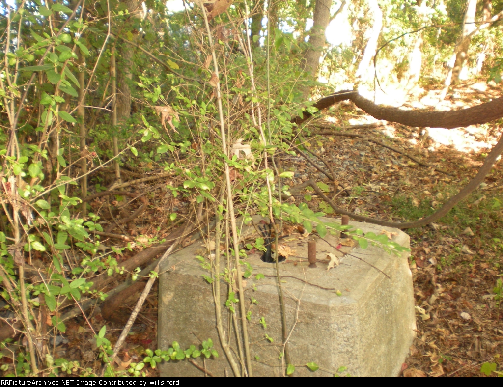
| This is the signal base on the south side of the crossing we found in the woods. This side of the crossing there was more stuff around. When the pulled this side up they left the rock and could tell were they pulled the ties right out of the ground. This side was here longer because the track stayed in place from here to Johns Iland longer. I am looking for more pics of this area and more info about here . If anybody has any please post or message me. |
| Date:
11/12/2010 |
Location:
Dupont Station, SC Map  |
Views:
161 |
Collection Of:
  willis ford
 |
|
Author: willis ford
|
 |
| Picture Categories: Track |
This picture is part of album: SAL EC route |